![]()
Potential Contaminated Sites in Townsville
|
This map
is indicative of the location of the potential land contamination in
Townsville LGA and is not suitable for cadastral purposes. The map is intended to indicate that Land contamination often associated with urban areas. |
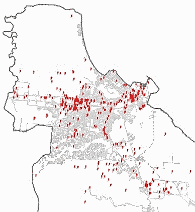
Image data source EPA, mapped by TCC