| Layer Metadata |  |
|
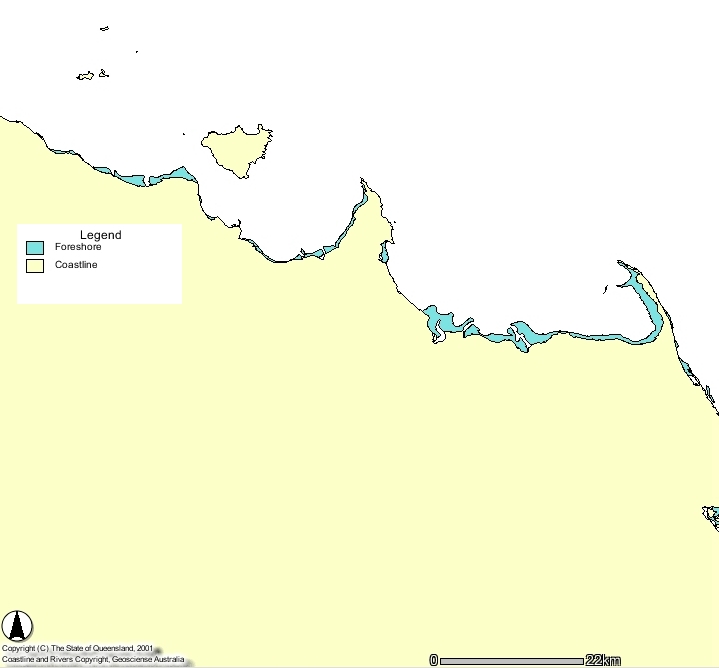
Metadata for Foreshore - GBRMPA
| Data Set | ||
| DSIN | 10028 | |
| Title | Foreshore - GBRMP | |
| Custodian | Great Barrier Reef Marine Park Authority | |
| Jurisdiction | Great Barrier Reef | |
| Description | ||
| Abstract | A coverage of intertidal foreshore areas in the Great Barrier Reef Region. Selected Foreshore flats along the Queensland coast within and immediately adjacent to the Great Barrier Reef World Heritage Area. GBRMPA.Coverage Type = polygon. Attributes are [x-coord], [y-coord]. | |
| Search Word(s) | Habitat | |
| Geographic Extent Name(s) | Great Barrier Reef | |
| Coordinates | N: -10.6 | |
| S: -24.6 | ||
| E: 152 | ||
| W: 142 | ||
| Data Currency | ||
| Beginning date | ||
| Ending date | ||
| Dataset Status | ||
| Progress | Complete | |
| Maintenance and update frequency | Unknown | |
| Access | ||
| Stored Data Format | DIGITAL - ARC/INFO, DIGITAL - ARC/INFO Export | |
| Available Format Type | DIGITAL - ARC/INFO, DIGITAL - ARC/INFO Export | |
| Access Constraint | QFS Use Only - Dataset available on CHRIS, not for release outside QFS | |
| Data Quality | ||
| Lineage | Produced under specific contract for GBRMPA by AUSLIG. Habitats surveyed in conjunction with analysis of Landsat Panchromatic Imagery and Aerial Photographic interpretation. | |
| Positional Accuracy | FORSHORE coverage has not been statistically tested with precision survey techniques. Positional accuracy varies considerably and dataset should NOT be used for navigation purposes, however, for general use the coverage can be regarded as having a nominal scale of 1:250,000. | |
| Attribute Accuracy | No useable attributes are included. | |
| Logical Consistency | FORSHORE is logically consistent in that it coincides with other GBRMPA base datasets, COAST, MANGROVE, ISLANDS. | |
| Completeness | Major foreshore features are present. | |
| Contact Information | ||
| Contact Organisation | Great Barrier Reef Marine Park Authority | |
| Contact Position | Geographical Information Systems Manager | |
| Mail Address | 2 - 68 Flinders Street, PO Box 1379 | |
| Locality | Townsville | |
| State | Qld | |
| Country | Australia | |
| Postcode | ||
| Telephone | 4750 0700 | |
| Facsimile | 4772 6093 | |
| Electronic Mail | gis@gbrmpa.gov.au | |
| Metadata Date | ||
| Creation Date | 21/06/2000 | |